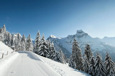
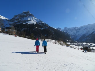
Engelberg - Untertrübsee

From Hotel Bänklialp, hike uphill via the Bänklialpweg through the forest to Gerschnialp, then continue on the road to the Gerschnialp station, along the winter hiking trail through the forest and across the valley floor at the foot of the Bitzistock to Untertrübsee.
- 1:26 h
- 4.21 km
- 304 m
- 57 m
- 1,000 m
- 1,258 m
- 258 m
- Start: Engelberg
- Destination: Untertrübsee
Good to know
Best to visit
Directions
Equipment
Directions & Parking facilities
Additional information
Winter sports report: https://www.engelberg.ch/offene-anlagen/winter/
Gasthaus Ritz: https://www.gasthaus-gerschnialp.ch/
Restaurant Untertrübsee: https://www.untertruebsee.ch/
Author
Engelberg - Titlis Tourismus
Organization
Engelberg-Titlis Tourismus
Author´s Tip / Recommendation of the author
Safety guidelines
When planning, please refer to the winter sports report where it is indicated whether the winter hiking trails are prepared and open.
Nearby