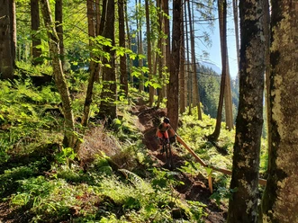
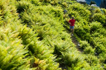
Brunni-Trail

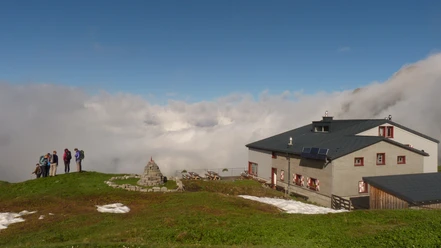
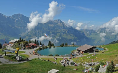
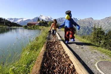
On the Brunni-Trail you follow the tracks of the Rugghubel mountain run to Ristis. At the top of the Brunni, the Härzlisee with its Kneipp trail waits for your tired feet. The trail ends at the top station of the Brunni chairlift, where you can also have your luggage transported up on request.
- 1:28 h
- 5.23 km
- 854 m
- 10 m
- 1,004 m
- 1,857 m
- 853 m
- Start: Engelberg
- Destination: Brunni Hut
Waypoints
Start
Good to know
Best to visit
suitable
Depends on weather
Directions & Parking facilities
Getting there
By car, take the A2 (Basel-Gotthard) to Stans Süd, then take the main road 20 km to Engelberg. Engelberg is 30 minutes from Lucerne, 1 hour and 15 minutes from Basel, Zurich or Bern.
Parking
Parking spaces are available in Engelberg for a fee.
Public transportation
National and international connections (from Zurich airport connections every half hour with approx. 1 hour travel time) to Lucerne. Then with the Zentralbahn in 43 minutes through varied landscape and gorges up to Engelberg.
Additional information
Open Trails: https://www.engelberg.ch/en/open-trails/summer/
Gastronomy: https://www.engelberg.ch/en/dining/gastronomy/
Accommodation: https://www.engelberg.ch/en/accommodation-online-bookable/#/accommodations
Author
Engelberg - Titlis Tourismus
Organization
Engelberg-Titlis Tourismus
Safety guidelines
When planning, take note of the summer sports report at https://www.engelberg.ch/offene-anlagen/sommer/ where it is indicated whether the hiking trails are open.
Nearby