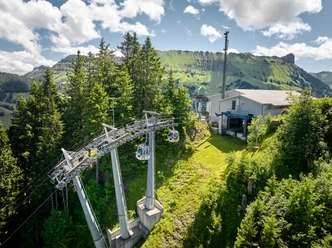
2-day route, stage 1: Marbachegg - Heiligkreuz 46km


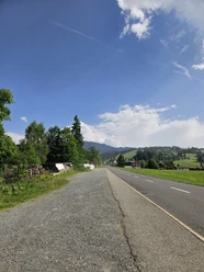
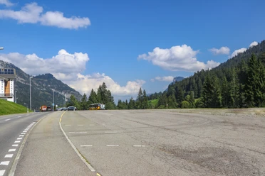
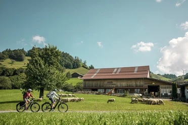
A "flowy" trail takes you down to Kemmeriboden-Bad and from there on a "blue" or "red" difficulty level via Salwideli through the colorful moorland landscape to Rossweid in Sörenberg. After a relaxing descent, you reach the village of Flühli, optionally via a rewarding "red" additional ascent with a fantastic view and a corresponding additional shot. In Flühli, the trail climbs again and leads via Salzbühl - Baumgarten - Finishütten up to the magnificent viewpoint on the "Farnere", followed shortly afterwards by the mountain restaurant on the First, where you can already spy out the stage finish at the Kurhaus Heiligkreuz a few meters below. If you still have some energy left, it's worth taking a short walk through the Seelensteg and taking a look inside the pilgrimage church.
- 7:55 h
- 57.81 km
- 1,994 m
- 2,342 m
- 884 m
- 1,618 m
- 734 m
- Start: Marbachegg - Kadhus Spycher
- Destination: Stolenstrasse - Kurhaus Heiligkreuz
Waypoints
Good to know
Pavements
Best to visit
Equipment
- Luggage transport is organized for you on the multi-day tour!
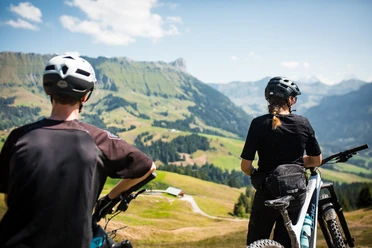
- Good equipment including rain and heat protection, repair and first aid kit are always included on an MTB tour. Wearing a helmet is a matter of course and a light is required at dusk.
Additional information
Marbach office
Dorfstrasse 61
6196 Marbach (LU)
Tel. +41 (0)34 493 38 04
www.escholzmatt-marbach-tourismus.ch
Biking in the UBE: 🔗 Bike experiences in the Entlebuch biosphere
Culinary delights in the UBE: 🔗 Culinary delights on the go
Fireplaces & picnic areas in the UBE: 🔗Fireplaces& picnic areas
Author
Escholzmatt-Marbach Tourismus
Organization
UNESCO Biosphäre Entlebuch
Author´s Tip / Recommendation of the author
Blue variant
Asphalt (44%) 21.4km / elevation gain +794m / elevation loss -801
Natural surface (56%) 26.7km / elevation gain +900m / elevation loss -1,232
Red variant
Asphalt (49%) 22.8km / elevation gain +626m / elevation gain -1042
Natural surface (51%) 23.8km / elevation gain +1'140.0m / elevation loss --1'060.0
Safety guidelines
- Wear the right protective equipment, assess your ability correctly, give way to hikers, stay on the trail and close pasture fences!
- We add a standard text here: Follow the Central Switzerland Bike Code - so you'll stay safe on your mountain bike!

Nearby