- 01:15 h
- 130 m
- 159 m
- 1,220 m
- 1,350 m
- 130 m
- 4.25 km
- start: Mountain station funicular Schwyz-Stoos
- destination: Mountain station funicular Schwyz-Stoos
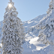
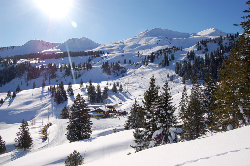
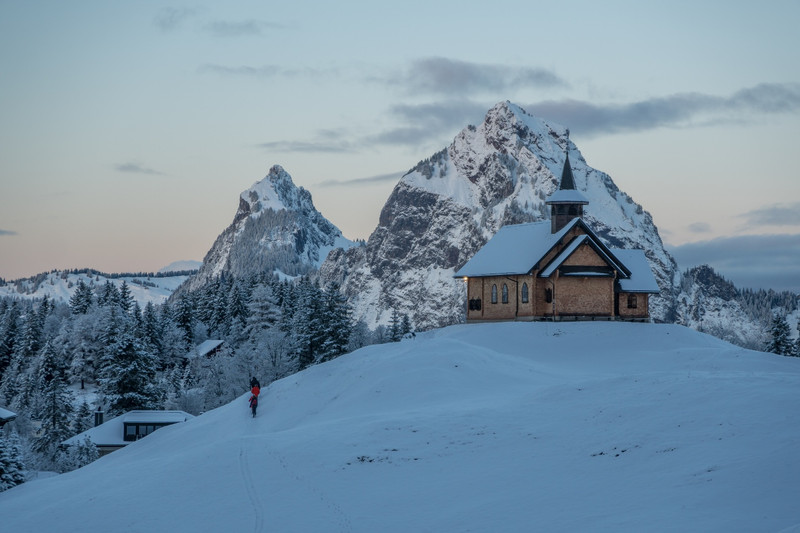
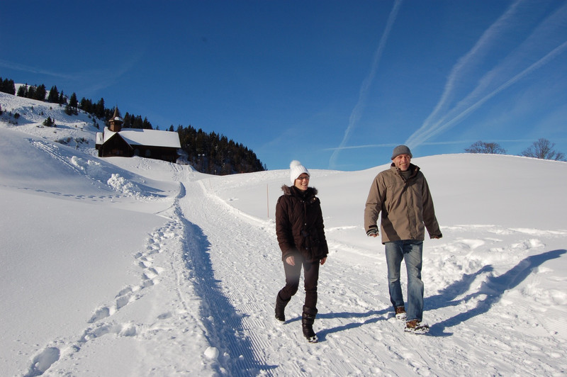
One walks through the hilly landscape past various farms. Far below lies the Muota valley, beyond the valley basin rise the myths and the Muota mountains. The climbs are always gentle. The same goes for the Brunnerboden, the highest point of the hike. The starting point is the mountain station of the old Stoos Railway. You walk comfortably through quiet and quiet nature to the valley station of the Klingenstock chairlift. Here you are welcomed by the pulsating winter sports life again and you have the choice between different mountain restaurants with sun terraces.Translated with www.DeepL.com/Translator

Info
Best season
Directions
Tour information
Familiy-Friendly
Loop Road
Stop at an Inn
Equipment
Directions
Additional information
Timetable of the Stoos trains at www.stoos.ch/fahrplan
Literature
An den Stationen der Stoosbahnen sind kostenloseProspekte vorhanden mit Informationen zum Trail.
Author
Stoos-Muotatal Tourismus / Region Luzern-Vierwaldstättersee
Organisation
Stoos-Muotatal Tourismus GmbH
Recommendation
Safety guidelines
Map