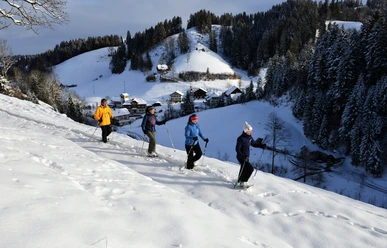
Snowshoe route Luthern Bad - Hinter Ey - Badegg


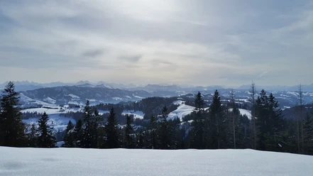
From the starting point, the trail idyllically follows the stream bed of the Luthern. After a short steep climb through the forest, you reach the highest point of the route, after which it gently descends to Luthern Bad.
- 1:30 h
- 4.18 km
- 236 m
- 237 m
- 873 m
- 1,108 m
- 235 m
- Start: Luthern Bad
- Destination: Luthern Bad
Good to know
Pavements
Best to visit
Directions
About 100 meters behind the Gasthaus Hirschen, the path goes along the bank of the Luthern stream bed.
The duration of the route depends heavily on snow conditions. Fast and fit snowshoe walkers can probably complete the route in about one hour; others who prefer a more relaxed pace will certainly need 1.5 hours.
Information about whether the trail is open can be foundhere.
Tour information
Loop Road
Stop at an Inn
Equipment
Directions & Parking facilities
- From Hüswil or Zell train station by postbus to Luthern Bad and back.
Additional information
Author
Willisau Tourismus
Organization
Willisau Tourismus
Author´s Tip / Recommendation of the author
How is the weather? Here is the link to the webcams.
Map
Nearby
Download GPX file