Tell-Trail Stage 7: Älggialp - Lungern


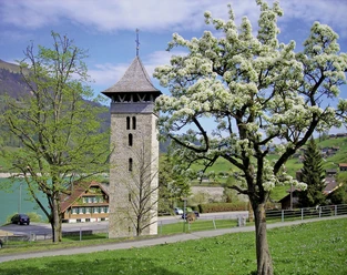
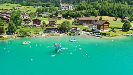
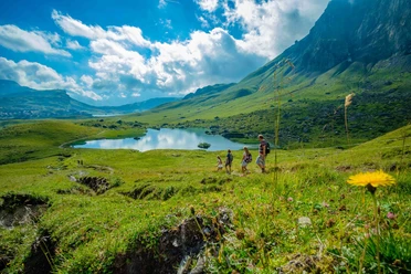
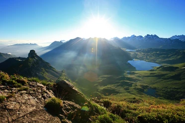
Countless alpine pastures accompany you today on your way into the valley. From the marshy high plateau of the Älggialp, the geographical center of Switzerland, you hike through small forests towards the Brünig Pass. From afar, the turquoise-blue water of the Lungern Lake greets you, which you reach after a strenuous descent over narrow paths. The destination of the seventh stage is the village of Lungern.
Hiking time: approx. 6 hours | Distance: 18 km | Ascent: 445 m | Descent: 1,383 m
- 6:00 h
- 17.97 km
- 444 m
- 1,390 m
- 690 m
- 1,739 m
- 1,049 m
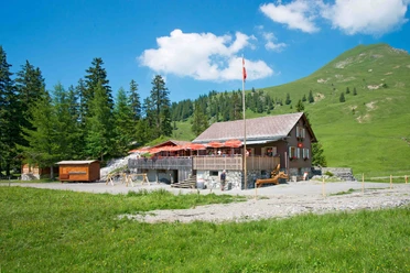
- Start: At the Älggialp
- Destination: Lungern
Good to know
Pavements
Best to visit
Directions
Tour information
Stop at an Inn
Summit
Equipment
Directions & Parking facilities
You can reach the Älggialp from Sachseln/Edisried via the Älggistrasse or from Flüeli-Ranft via the Wolfisbergstrasse. These two roads merge at the so-called Blatten. Important: From here, the road is only passable alternately on weekends and public holidays.
- Even hours = uphill drive (e.g. until 10:40 a.m.)
- Odd hours = downhill drive from Älggi parking lot (e.g. until 11:40 a.m.)
The entire Älggistrasse is a single-lane mountain road with limited passing opportunities. Therefore, it is recommended to drive to the Älggialp via Flüeli-Ranft on the Wolfisbergstrasse.
Additional information
This stage is part of the long-distance hiking trail Tell-Trail, which runs through central Switzerland in eight stages.
More info on the Tell-Trail at www.luzern.com/telltrail
Organization
Lucerne Tourisme
Safety guidelines
T3 demanding mountain hiking.
- Good sure-footedness
- Average orientation skills
- Basic alpine experience

Nearby