Bike round tour Nebikon-Castle-Altishofen-Richenthal-Santenberg


On the easy circular route on roads and forest paths, you only have to tackle one easy single trail and a short challenging single trail section at the end of the tour.
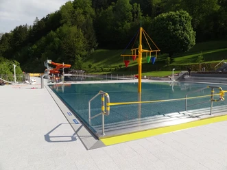
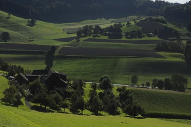
From Nebikon, the route leads up through the Altishoferwald forest towards Äppenwil and Ärpolingen and then through the Burgwald forest and over the Gugggerhöchi down to Richenthal. The route continues around the Schallberg back to Nebikon. If you wish, you can now add an additional loop over the Santenberg. Past the swimming pool, the trail leads eastwards along the northern flank of the mountain to Stockacher. The way back is on the southern side of the mountain with a magnificent view over the Wauwilermoos plain and far into the Alps. In the Buechwald forest, a few hundred meters before the end of the tour, a short, challenging single trail leads down to Nebikon.
- 5:00 h
- 51.11 km
- 1,249 m
- 1,249 m
- 478 m
- 699 m
- 221 m
- Start: Nebikon, railroad station
- Destination: Start and end are at the same place = circular route
Waypoints
Good to know
Best to visit
- suitableDepends on weather
Directions
- Nebikon - Äppenwil - Äberdingen - Richenthal - Altishofen - Nebikon - Stockacher - Nebikon
Tour information
Circular trail
Directions & Parking facilities
- ParkingParking spaces are availablePublic transportationBy train to Nebikon
Additional information
Author
Willisau Tourismus
Organization
Willisau Tourismus
Author´s Tip / Recommendation of the author
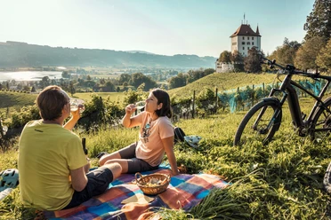
- Altishofen Castle
- Uffikoner-Buchser Moos
- St. Andrew's Chapel in Buchs
- Wauwil pile-dwelling settlement

Nearby


Download GPX file