Bridge loop trail


Adrenaline and relaxation can be wonderfully combined on the Bridge loop trail. The loop trail starts at the Mostelberg mountain station and begins with a real highlight: crossing the 374-metre-long "Skywalk" pedestrian suspension bridge. High above the Lauitobel, you will experience an impressive panorama and a slight tingling sensation from the height.
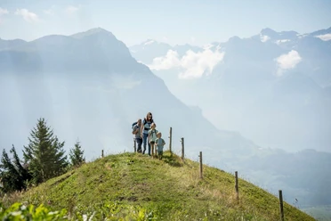
Afterwards, the trail leads leisurely and close to nature through forests and along meadows back to the mountain station. With a length of around 2 km, a walking time of approx. 40 minutes and a difference in altitude of just 40 meters, the walk is ideal for families, leisure hikers and anyone who wants to experience nature and the view in a relaxed way.
Please note that the suspension bridge can only be crossed on one side with baby carriages and wheelchairs. Use the circular route for the return journey. Part of the route leads over a rough gravel path.
- 0:40 h
- 2.49 km
- 35 m
- 30 m
- 1,170 m
- 1,200 m
- 30 m
Good to know
Pavements
- Asphalt (74%)Gravel (18%)Trail (8%)
Best to visit
- suitableDepends on weather
Directions
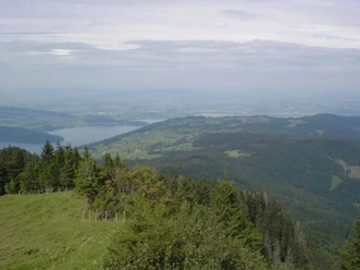
- The Bridge loop trail starts at the Mostelberg mountain station. From there, the trail leads left to the 374-metre-long "Skywalk" pedestrian suspension bridge. As you cross the impressive suspension bridge, you can enjoy the view of the Lauitobel and Ägerital before arriving on the opposite side.
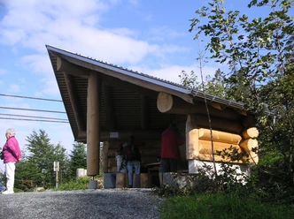
After the bridge, you reach the Gruebi fireplace - an ideal resting place surrounded by nature. The route then continues on a gravel path to the right in the direction of Herrenboden. This section runs pleasantly through open countryside.
After the Herrenboden restaurant and the Hochstuckli ski lift, the path branches off to the right. From here, the circular trail leads through varied forest and meadow landscapes back to the Mostelberg mountain station. The path is well maintained, with one section running over coarse gravel. After around 40 minutes, you will reach the starting point again.
Tour information
Circular trail
Equipment
- For the Bridge loop trail, we recommend wearing clothing suitable for the weather and sturdy footwear such as trekking shoes or hiking boots. This way you can enjoy the hike comfortably and safely - regardless of sun, wind or rain.
Directions & Parking facilities
- Getting thereDirections from Zug:
From Zug via Aegerital. Then follow the signs to Sattel.Coming from Lucerne:
Take the A4/E41 highway to exit 39, leave the highway in the direction of Schwyz, Sattel, Einsiedeln and then follow the signs to Sattel. In the village of Sattel, turn right into Steinerbergstrasse and then left to the Sattel-Hochstuckli revolving gondola parking lot.Coming from Ticino:
Follow Axenstrasse on the A4/E41 highway until exit 39. Leave the highway in the direction of Schwyz, Sattel, Einsiedeln and then follow the signs to Sattel. In the village of Sattel, turn right into Steinerbergstrasse and then left to the Sattel-Hochstuckli revolving gondola parking lot.Coming from Zurich:
Take the A3 highway to exit 37. Leave the highway in the direction of Richterswil, Einsiedeln, Samstagern and follow the road in the direction of Sattel and Schwyz. In Sattel, turn right and then left into Steinerbergstrasse before arriving at the Sattel-Hochstuckli revolving gondola parking lot on the left.ParkingPaid parking spaces are available at the valley station of the "Stuckli Rondo" revolving gondola lift.Public transportationSüdostbahn (SOB) S31 from Rapperswil, Pfäffikon, Wädenswil, Einsiedeln, Lucerne, Arth-Goldau. Sattel-Aegeri" station (6 minutes on foot to the valley station of the gondola lift).Voralpen-Express: fast train connection Romanshorn-St.Gallen-Lucerne (stops in Biberbrugg and Arth-Goldau). Connecting buses from Biberbrugg (direction Rothenthurm-Sattel-Schwyz). Auto AG Schwyz (AAGS) from Schwyz (Sattel stop, gondola lift).
Zugerland Verkehrsbetriebe (ZVB) from Zug (bus route 601) to Oberägeri, change to bus route 609 to the Sattel stop, take the gondola lift. Author
Madeleine Keller
Organization
Sattel-Hochstuckli
Author´s Tip / Recommendation of the author
- As dogs don't like the suspension bridge's floor grid, dog collars can be hired at the mountain station.

Nearby





Download GPX file