Circular route Trübsee - Titlis


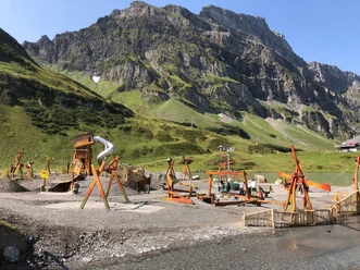
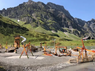
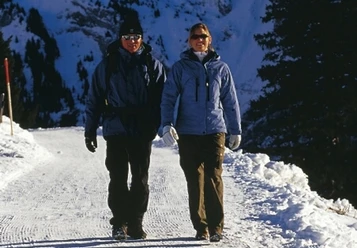
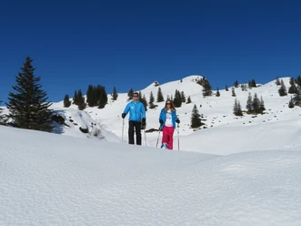
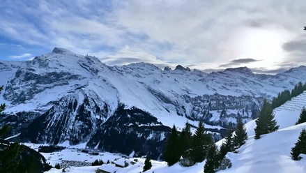
Right by the Berghotel Trübsee is the start of the winter hiking trail which leads downhill, past the sliding park to Trübsee. Covered with snow and ice, it is not clear why Trübsee got its name. However, it can be revealed that the mountain lake, also filled with emerald green glacier water in summer, puzzles visitors about the origin of its name. The path leads once around the lake. Admire the snow and ice-covered lake and enjoy the sun and the fantastic mountain world.
- 0:55 h
- 3.40 km
- 35 m
- 35 m
- 1,761 m
- 1,796 m
- 35 m
- Start: Mountain station Trübsee
- Destination: Mountain station Trübsee
Good to know
Best to visit
- suitableDepends on weather
Tour information
Cable car tour
Circular trail
Refreshment stop
Equipment
High and sturdy hiking boots or winter boots, warm clothing, sun protection, and hiking poles are advantageous.
Directions & Parking facilities
- Getting thereBy car, drive on the A2 (Basel-Gotthard) to Stans South, then 20 km on the main road to Engelberg. Engelberg is 30 minutes from Lucerne, 1 hour and 15 minutes from Basel, Zurich, or Bern.ParkingParking spaces are available in Engelberg for a fee.Public transportationNational and international connections (from Zurich Airport connections every half hour with approx. 1 hour travel time) to Lucerne. Then with the Zentralbahn in 43 minutes through varied landscape and gorges up to Engelberg.
Additional information
Author
Engelberg - Titlis Tourismus
Organization
Engelberg-Titlis Tourismus
Safety guidelines
When planning, please note the winter sports report indicating whether the winter hiking trails are tracked and open.
Nearby



Download GPX file