Trübsee - Hüethütte - Trübsee Station

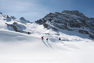
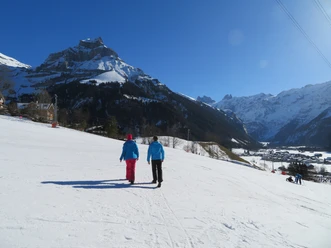
A network of about 49 km of winter hiking trails stretches across the valley and its snowy landscape. The routes are numbered and marked in purple.
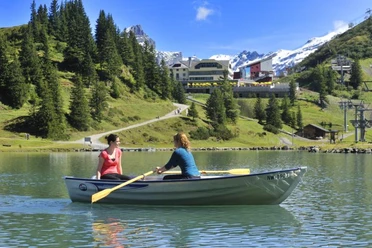
From the Trübsee mountain station, the path is slightly uphill leading to Hüethütte at the foot of frozen Lake Trüb (Trübsee). This gentle hike passes the lake and leads to the Trübsee chapel as well as Station Trübsee -- always with the Titlis glacier in view.
See also
Obwalden Tourismus
Bahnhofplatz 1
CH - 6060 Sarnen
Tel: +41 (0)41 666 50 40
Fax: +41 (0)41 666 50 45
E-Mail: [email protected]
Internet: www.obwalden-tourismus.ch
- 1:00 h
- 3.06 km
- 5 m
- 33 m
- 1,761 m
- 1,796 m
- 35 m
- Start: Station Trübsee
- Destination: Station Trübsee
Waypoints
Good to know
Best to visit
- suitableDepends on weather
Directions
- Trübsee Station - Hüethütte - Trübsee Station
Tour information
Refreshment stop
Equipment
- High and firm hiking boots or winter boots, warm clothes, sun protection, hiking poles are advantageous.
Directions & Parking facilities
- Getting thereTake the Motorway A2 (Basel-Luzern-Gotthard) to Stans-south. From there follow the main road for 20 km to Engelberg. Engelberg is about 30 minutes from Lucerne. From Zurich you need about 1 h 15 min, and from Bern or Basel approximatly 1 h 45 min.ParkingParking spaces are available in Engelberg for a fee.Public transportationNational and international connections (from Zurich airport connections every half hour with approx. 1h travel time) to Lucerne. Afterwards with the Zentralbahn in 43 minutes through varied landscape and gorges up to Engelberg.
Additional information
Organization
Engelberg-Titlis Tourismus
Safety guidelines
When planning, please refer to the winter sports report where it is indicated whether the winter hiking trails are prepared and open.