Comfortable hike through the tunnels on the high path


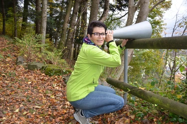
The old cattle trail from Erstfeld to Attinghausen led over the left Reuss bank. The path was repeatedly washed away. Later it was relocated so that it ran above the rock face. When a rockfall destroyed the path there, it was decided in the early fifties to lead the path through a tunnel. A small "Axen road" was created. Today the path is only used for hiking. However, it has retained its old charm. What the slightly elevated path offers today is enormous: we can observe the various alpine-crossing traffic routes and oversee the necessary infrastructure such as the heavy transport center, rest stop, Altdorf train station, or NEAT portal.
A comfortable but also exciting hike for the whole family. Children especially enjoy playing in the bed of the Reuss on the large gravel banks.
Book your accommodation in the Uri holiday region here: booking.uri.info!
- 2:02 h
- 7.63 km
- 35 m
- 35 m
- 452 m
- 488 m
- 36 m
- Start: Attinghausen
- Destination: Attinghausen
Good to know
Pavements
Best to visit
Directions
Tour information
Cultural Interesting
Loop Road
Stop at an Inn
Equipment
Directions & Parking facilities
Additional information
Author
Markus Fehlmann
Organization
Verein Urner Wanderwege
Author´s Tip / Recommendation of the author
Safety guidelines
Nearby

Download GPX file