Langis Trail


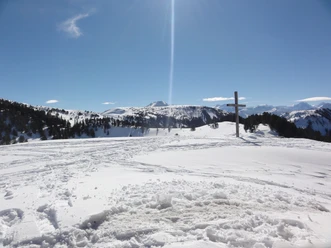
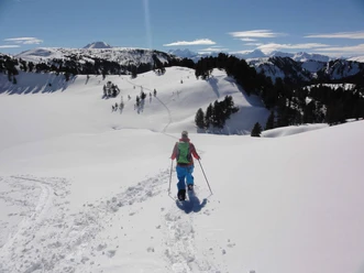
The circular route starts at the Langis parking lot and follows the cross-country track for a short section. Then the climb begins towards Schlierengrat. The trail leads over snow-covered alpine meadows up to the moor forests. From the height, the clearings offer wonderful views over the snow-covered high moor in the Schlierental valley. The descent again takes place over the snow-covered alpine meadows until you reach the cross-country track again and can follow it back to the starting point.
- 1:30 h
- 2.84 km
- 169 m
- 170 m
- 1,442 m
- 1,611 m
- 169 m
- Start: Langis parking lot
- Destination: Langis parking lot
Good to know
Best to visit
Tour information
Loop Road
Directions & Parking facilities
By private car or post bus from Sarnen (daily connections from mid-December to early April). Those arriving by post bus receive a discount on a drink, sports equipment rental, or the cross-country skiing pass. The Langis parking lot is chargeable in winter. Note that on weekends with good weather, the parking lot is already full by 10:00 a.m. So you have to start early or use public transport.
Author
Obwalden Tourismus
Organization
Obwalden Tourismus
Nearby

Download GPX file