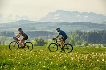
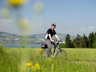
Relaxation route: Sursee-Schlierbach-Sursee

From Sursee, this route takes you through the hamlets of Krumbach and Wetzwil up to the ridge that separates the Surental and Wynental valleys. At 700 meters above sea level and nestled in nature lies the small community of Schlierbach. Enjoy the magnificent view of the Mittelland with its countless rolling hill ridges. Over meadows and through forests high above the Surental, follow the circular route to Wellnau, another small hamlet, and finally down to Triengen.
Stop in Triengen, for example at the parish church of Laurentius or at the Flying Ranch airfield. From the large terrace here, you have the best view of the light aircraft or the numerous parachutists who jump skillfully from the plane high above Triengen from spring to autumn and land on the grass runway.
Along the silently flowing Sure river, lined with trees, the path leads back to Sursee.
- 1:44 h
- 22.41 km
- 348 m
- 348 m
- 483 m
- 732 m
- 249 m
- Start: Sursee
- Destination: Sursee
Waypoints
Good to know
Pavements
Best to visit
Directions
Tour information
Cultural Interesting
Familiy-Friendly
Loop Road
Stop at an Inn
Author
Peter Regli
Organization
Luzern Tourismus
Author´s Tip / Recommendation of the author
Nearby
Download GPX file