Rophaien - Alplersee


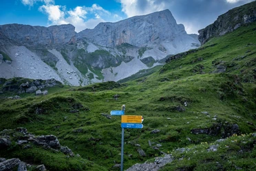
West of the frequently visited Lidernen range, the small, open cableway to the Buggialp opens up some spectacular alpine hikes high above Lake Lucerne. However, all of them require a certain sense of direction and surefootedness. One of them first leads on faint trails around the Buggigrat and the Blutt Stöckli. The final climb to the striking summit cross on the Rophaien is steep and requires full concentration again. The descent down to the small mountain village of Riemenstalden can be combined with a refreshing swim in the idyllically situated Alplersee.
- 6:00 h
- 11.68 km
- 1,287 m
- 1,072 m
- 811 m
- 2,071 m
- 1,260 m
- Start: Riedberg stop, Riemenstalden
- Destination: Riemenstalden village
Good to know
Pavements
Best to visit
Tour information
Loop Road
Stop at an Inn
Equipment
Hiking shoes with good tread or trekking shoes, rain jacket, drink, provisions, possibly poles.
Directions & Parking facilities
Use the Axenstrasse from the north and south to Sisikon. In Sisikon, a mountain road branches off to Riemenstalden; drive to Riedberg.
There are no parking spaces at Riedberg, public transport is recommended for arrival.
Riedberg stop, accessible by post bus from Sisikon station.
Additional information
Further information on the upper part of the ascent can be found on the SAC tour portal (https://www.sac-cas.ch/de/huetten-und-touren/sac-tourenportal/rophaien-1524/berg-und-alpinwandern/oberaxen-rophaien-lidernenhuette-914/).
Author
Xaver Büeler
Organization
Schwyz Tourismus
Author´s Tip / Recommendation of the author
The aerial cableway up to the Buggialp significantly eases the route and saves about 400 meters of elevation gain.

Nearby

Download GPX file