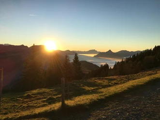
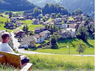
Rundweg Ried


- 0:55 h
- 3.81 km
- 17 m
- 17 m
- 568 m
- 585 m
- 17 m
Good to know
Pavements
Best to visit
Directions
Tour information
Loop Road
Directions & Parking facilities
Continue on the A14 from Lucerne in the direction of Zug. After 20 km, you will come to the Rütihof intersection. There you take the A4 motorway in the direction of Schwyz. Take the Schwyz exit and follow the signs in the direction of Muotathal.
Coming from Lake Constance and Rapperswil:
At Rapperswil, drive in the direction of Pfäffikon / Gotthard. At Pfäffikon, drive a short distance on the A3 motorway in the direction of Gotthard. Then take the first exit in the direction of Gotthard / Schwyz. The road will take you to Schwyz via Rothenthurm and Sattel. At Schwyz, drive towards Muotathal.
Coming from Gotthard-Altdorf:
Take the bypass (tunnel) in Flüelen in the direction of Schwyz. After the Mosi Tunnel, leave the motorway at Exit 40 Brunnen (in the direction of Weggis/Gersau/Schwyz/Brunnen). Drive in the direction of Ibach/Schwyz and at the 2nd roundabout in Ibach (by Dany's Family Restaurant), take the 1st exit towards Muotathal.
Author
Stoos-Muotatal Tourismus
Organization
Schwyzer Wanderwege
Nearby

Download GPX file