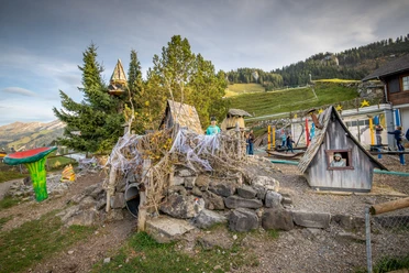
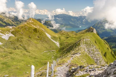
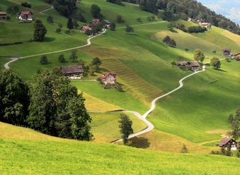
Stanserhorn - Blatti - Wiesenberg

The hike starts at the summit of the Stanserhorn. From there, the trail first leads over the ridge and then down over the Blatti towards Wiesenberg. There, the charming Wiesenberg cable car takes you directly to Dallenwil. From the valley station, it is a short walk to Dallenwil railroad station.
Alternatively, the route can also be started in Dallenwil and followed in the opposite direction to the Stanserhorn.
- 2:40 h
- 4.93 km
- 897 m
- 50 m
- 1,005 m
- 1,853 m
- 848 m
Waypoints
Good to know
Pavements
Asphalt (9%)
Trail (6%)
Path (85%)
Best to visit
suitable
Depends on weather
Equipment
Good shoes, a rain jacket and enough drinking water for the journey are part of every hike.
Author
Marco Burgener
Organization
Lucerne Tourisme

Nearby