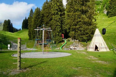
Stockhütte-Emmetten


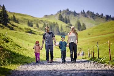
From the mountain station Stockhütte the path goes down towards Rinderbühl and the village of Emmetten. Along the way you are rewarded with magnificent views of the mountains and Lake Lucerne.
This hike is also possible in the opposite direction.
- 1:10 h
- 4.19 km
- 1 m
- 525 m
- 755 m
- 1,279 m
- 524 m
Waypoints
Good to know
Pavements
Street (1%)
Trail (89%)
Path (10%)
Best to visit
suitable
Depends on weather
Directions & Parking facilities
Getting there
Motorway A2 (Basel-Chiasso-Italy),
- Exit Beckenried/Emmetten.
Emmetten is located approx. 20 km south of Lucerne.
Parking
Parking directly at the valley station of the Klewenalp aerial cableway for CHF 5.-/day.
Public transportation
Take the SBB to Lucerne, change and take the Zentralbahn to Stans, change and take the bus to Beckenried.
By boat: Scheduled boat Lucerne - Beckenried - Flüelen - also in winter
Author
Bergbahnen Beckenried-Emmetten AG
Organization
Nidwalden Tourismus
Nearby