Tell-Trail Stage 4: Lucerne - Pilatus - Stans

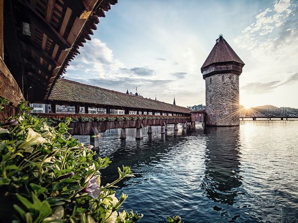

The starting point of the hike is the city of Lucerne. You take the bus to Kriens, where an idyllic hike through the Chrienser Hohwald awaits you. From Fräkmünt, the paths become rougher. You circle the Klimsenhorn and hike up countless switchbacks to Lucerne's local mountain, Pilatus. The steepest cogwheel railway in the world takes you back down to the valley at Alpnachstad. Finally, you hike to the stage town of Stans.
Hiking time: approx. 8 hours | Distance: 10 km (without mountain railways) | Ascent: 1,650 m | Descent: 120 m (with mountain railways: 1984 m)
- 8:00 h
- 27.41 km
- 1,650 m
- 1,984 m
- 432 m
- 2,099 m
- 1,667 m
- Start: City of Lucerne
- Destination: in the village of Stans
Waypoints
Good to know
Pavements
Best to visit
Directions
The hike starts in the city of Lucerne. You take the bus to Kriens, where an idyllic hike through the Chrienser Hohwald awaits you. From Fräkmünt, the paths become rougher. You circle the Klimsenhorn and hike up countless switchbacks to Lucerne's local mountain, Pilatus. The steepest cogwheel railway in the world takes you back down to the valley at Alpnachstad. Finally, you hike to the stage town of Stans.
Tour information
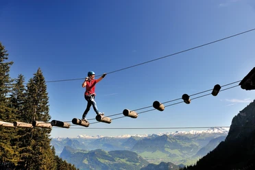
Mountain Railway Tour
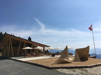
Stop at an Inn
Summit
Equipment
Good hiking boots.
Directions & Parking facilities
Additional information
This stage is part of the long-distance hiking route Tell-Trail, which runs through the whole Central Switzerland in eight stages.
More information about the Tell-Trail at www.luzern.com/telltrail
Author
Luzern Tourismus
Organization
Lucerne Tourisme
Author´s Tip / Recommendation of the author
If you want to rest your legs for the following routes, you can shorten the section from Alpnachstad to Stans by public transport. More information here.
Safety guidelines
T3 demanding mountain hiking.
- Good surefootedness
- Average orientation skills
- Basic alpine experience
Social Media

Nearby


