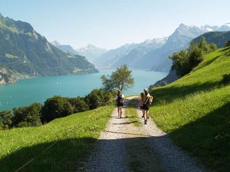
Waldstätterweg Stage 4: Lucerne - Alpnachstad


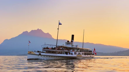
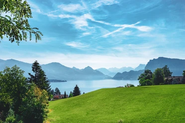
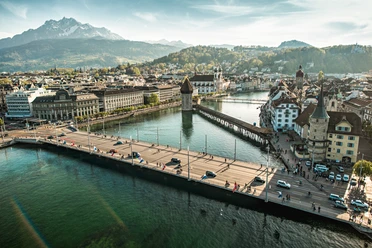
From the SBB train station to the Schiffländte SGV. Past the KKL and the Tribschen estate across the Horw peninsula to the foot of the Pilatus. Crossing over the Rengg Pass, which until the construction of the Brünig road in the 1860s was the only land connection to Obwalden.
The Waldstätterweg is continuously signposted as regional route No. 98 of the SchweizMobil network in both directions.
- 6:30 h
- 22.35 km
- 820 m
- 819 m
- 434 m
- 886 m
- 452 m
- Start: Lucerne, boat station
- Destination: Alpnachstad
Good to know
Pavements
Best to visit
Directions
Additional information
Luzern Tourismus AG
Tourist Information
Zentralstrasse 5
CH-6002 Luzern
Tel.: +41 (0)41 227 17 17
E-Mail:
Internet: www.luzern.com
Verein Weg der Schweiz & Waldstätterweg
Geschäftsstelle Brunnen Tourismus
Bahnhofstrasse 15
CH-6440 Brunnen
Tel.: +41 (0)41 825 00 40
E-Mail:
Information about the Waldstätterweg: www.waldstaetterweg.ch
Author
Luzern Tourismus
Organization
Lucerne Tourisme

Nearby


Our recommendations