Waldstätterweg Stage 2: Vitznau - Küssnacht


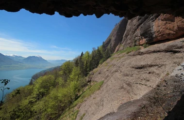
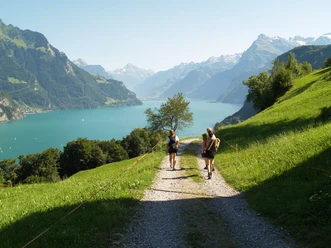
Past orchards to Oberwilen and over the narrow molasse step with ladders, which earlier only here allowed the land connection to Weggis. The hiking trail continues through the Chestenenweid nature reserve via Weggis, Hertenstein and the Haldihof to Küssnacht.
The Waldstätterweg is continuously signposted as regional route of the SchweizMobil network and in both directions as route no. 98.
- 5:00 h
- 18.18 km
- 630 m
- 612 m
- 434 m
- 768 m
- 334 m
- Start: Vitznau, boat station
- Destination: Küssnacht
Good to know
Best to visit
- suitableDepends on weather
Directions
- Vitznau - Weggis - Greppen - Küssnacht
Additional information
- Verein Weg der Schweiz & Waldstätterweg
Brunnen Tourism Office
Bahnhofstrasse 15
CH-6440 Brunnen
Tel.: +41 (0)41 825 00 40
E-Mail: Organization
Schwyzer Wanderwege