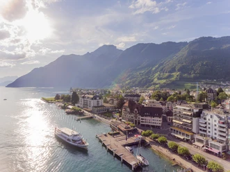
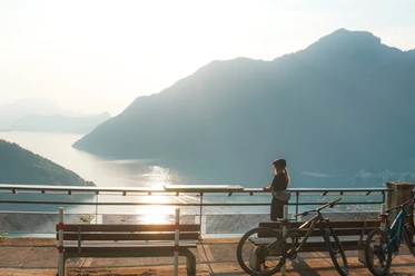
Grand Tour photo spot: Lake Lucerne


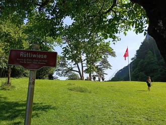
In the distance you can see a patch of meadow, the Rütli. According to legend, this is the historic site where Switzerland was founded in 1291. Further back you can see a pyramid-shaped peak, the 2928 metre-high Urirotstock. Below the two mountains Niederbauen and Oberbauen lies the village of Seelisberg on a sunny terrace at 850 metres above sea level. Incidentally, Lake Lucerne is so named because it is embedded in the four forest regions of Uri, Schwyz, Obwalden, Nidwalden and Lucerne.
Good to know
Directions & Parking facilities
Bus stop: Brunnen, Brunnen, See / Schiffstation
Accessibility / Location
Accessible by public transport
By the lake
Central location
Contact person
Nearby