3-day route, stage 3: Romoos-Marbach


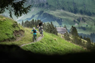
Easy roads take you to the Stächelegg, where you have the option of making a detour to the Napf. From Stächelegg, you whizz down almost 15 km via Trub to Trubschachen. It's worth taking a quick look at the Kambly experience. From here, the trail leads along the Ilfis, Schärligbach and Schonbach rivers back to the Marbachegg valley station, where the tour comes full circle and ends.
- 4:00 h
- 35.34 km
- 711 m
- 617 m
- 731 m
- 1,348 m
- 617 m
- Start: Romoos cross
- Destination: Wittenmoos - Marbach valley station
Waypoints

Good to know
Pavements
Best to visit
Equipment
- Luggage transport is organized for you on the multi-day tour!
- Good equipment including rain and heat protection, repair and first aid kit are always included on an MTB tour. Wearing a helmet is a matter of course and a light is required at dusk.
Additional information
Marbach office
Dorfstrasse 61
6196 Marbach (LU)
Tel. +41 (0)34 493 38 04
www.escholzmatt-marbach-tourismus.ch
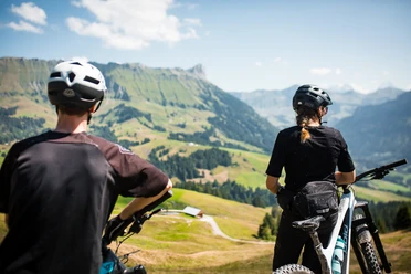
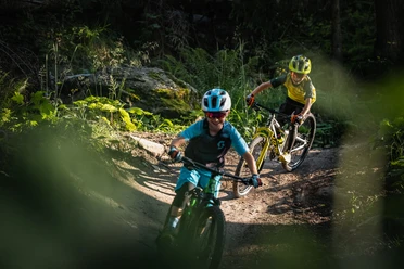
Biking in the UBE: 🔗 Bike experiences in the Entlebuch biosphere
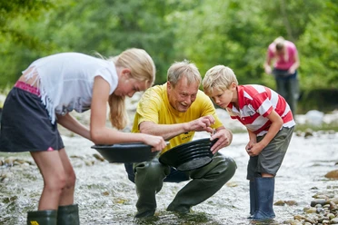
Culinary delights in the UBE: 🔗 Culinary delights on the go
Fireplaces & picnic areas in the UBE: 🔗Fireplaces& picnic areas
Author
Escholzmatt-Marbach Tourismus
Organization
UNESCO Biosphäre Entlebuch
Author´s Tip / Recommendation of the author
Blue variant:
Asphalt (61%) 21.5 km / elevation gain +625m / elevation loss -374m
Natural surface (39%) 13.7 km / elevation gain +188m / elevation loss -347m
Safety guidelines
- Wear the right protective equipment, assess your ability correctly, give way to hikers, stay on the trail and close pasture fences!
- We add a standard text here: Follow the Central Switzerland Bike Code - so you'll stay safe on your mountain bike!

Nearby
