AargauSouth High Trail - sub-route 06


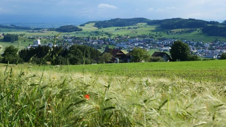
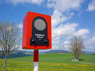
The path leads briefly southward from the Stierenberg summit over Lucerne territory down to the hamlet of Vorder Stierenberg. Then the route turns left towards the east and leads down via Waldegg into the village of Menziken. To the south, alongside the Alpine panorama, one can see the tower of the Landessender Beromünster (1931–2008), which is now a protected monument. Menziken, with its 6,500 inhabitants, is the southernmost village in the Wynental. Until 1992, the village was served by the SBB line Beinwil am See–Beromünster; since then, buses have operated. The old railway track towards Beromünster has been converted into a bike path. The Oberwynental is also called Stumpenland, in memory of the tobacco industry that was located here last century.
- 1:15 h
- 4.77 km
- 6 m
- 327 m
- 542 m
- 868 m
- 326 m
- Start: Stierenberg Summit
- Destination: Menziken Station
Good to know
Pavements
Best to visit
Directions
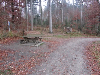
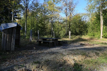
Feeder route. The sub-route 06 can be reached on a marked route from Rickenbach LU.
Tour information
Cultural Interesting
Stop at an Inn
Directions & Parking facilities
Feeder route. The sub-route 06 can be reached on a marked route from Rickenbach LU.
Author
Thomas Bachmann
Organization
aargauSüd impuls

Nearby