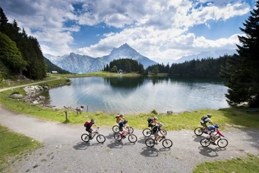
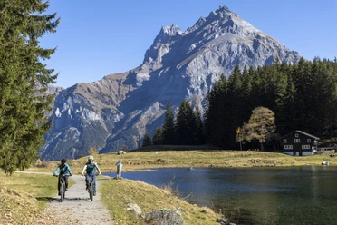
Amsteg - Arnisee - Amsteg (407)


Bike route from Amsteg with about 1000 meters of ascent up to the blue Arnisee. Afterwards, there is a flowy trail down to Intschi. The last kilometers back to Amsteg are on the main road.
- 4:15 h
- 26.45 km
- 979 m
- 980 m
- 512 m
- 1,411 m
- 899 m
- Start: Valley station cable car Amsteg
- Destination: Valley station cable car Amsteg
Good to know
Pavements
Street (28%)
Gravel (29%)
Trail (25%)
Path (18%)
Best to visit
suitable
Depends on weather
Tour information
Loop Road
Equipment
- Full-suspension MTB is an advantage.
- Suitable for e-MTBs
Directions & Parking facilities
Parking
There are plenty of parking spaces at the valley station of the cable car in Amsteg.
Additional information
Author
Marc Schürmann
Organization
allmountain

Nearby
Download GPX file