Bäretros Stoos


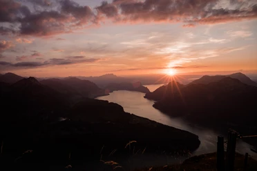
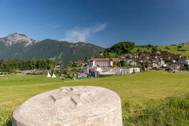
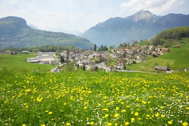
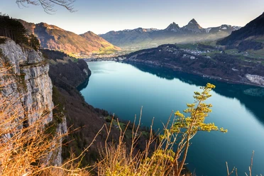
The hiking trail from Morschach to Stoos leads over a varied route with beautiful views of Lake Lucerne and the surrounding mountains. On the partly steep ascent, it passes through forests and meadows before reaching the car-free mountain village of Stoos.
- 3:45 h
- 7.47 km
- 998 m
- 364 m
- 641 m
- 1,639 m
- 998 m
- Start: Village square Morschach
- Destination: Stoos
Waypoints
Start
Destination
Good to know
Pavements
- Asphalt (16%)Trail (44%)Path (40%)
Best to visit
- suitableDepends on weather
Directions
Info pavilion – Degenbalm – Stoosstrasse – Wissenflue – Bäretroos – Fronalp – Welesch – Stoos
Tour information
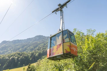
Cable car tour
Author
Stoos-Muotatal Tourismus
Organization
Stoos-Muotatal Tourismus