Bike route Maighel Pass


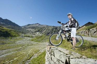
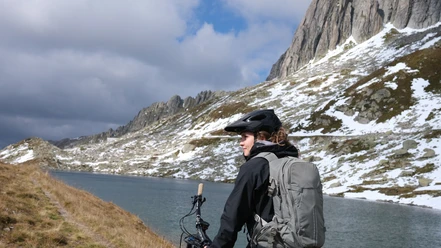
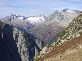
Starting point for the bike route over the Maighel Pass is Andermatt. From there it leads on the pass road to the Oberalp. Those who take the standard route leave the paved road at the pass height and ride down via Pass Tiarms and Val Val to Tschamut. From there you reach Surpalits on the pass road and further to Milez, where you enter a natural road. This leads moderately uphill into the Val Maighels, where the Maighel hut sits on the left on the slope. Tip: If you want, you can also shorten the way by not going via Pass Tiarms and Tschamut but riding directly from the Oberalp Pass to Surpalits: that's 2 kilometers of descent on the pass road. Through the Val Maighels, the natural road gradually becomes a hiking trail; in late snowmelt, you might also encounter some snow fields. From the Maighel Pass, the view opens onto mountains like Gemsstock, Pizzo Centrale, and the Giübin. For those heated up and not afraid of cold water, a swim in the mountain lake is possible. From the Maighel Pass follows a steep, demanding descent into the Unteralp valley. On the way there, the Vermigel hut is also visible, to which the path climbs again. Otherwise, you can ride directly to Andermatt—all on a natural road that follows the Unteralp-Reuss. All in all, it is an impressive alpine bike route leading through an imposing mountain landscape and demanding some advanced riding skills. Note: Carrying or pushing sections must be expected on this route, especially near the Maighel Pass: depending on skill between 10 and 45 minutes. This route should only be ridden in dry conditions due to difficult sections.
Variant A: Direct crossing on the mountain road from Oberalp Pass to Surpalits.
Variant B: Direct crossing (via Variant A) on a demanding path (including a 5-10 minute carrying section) from Oberalp Pass to Tgatlems. Please be considerate: many hikers!
Variant C: Transport by train to the Oberalp Pass.
- 5:07 h
- 39.19 km
- 1,554 m
- 1,554 m
- 1,436 m
- 2,422 m
- 986 m
- Start: Andermatt station
- Destination: Andermatt station or Oberalp Pass
Good to know
Best to visit
Directions
Tour information
Loop Road
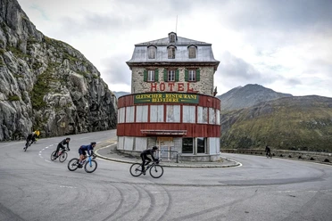
Stop at an Inn
Author
Markus Fehlmann
Organization
Verein Urner Wanderwege
Author´s Tip / Recommendation of the author
Map
Nearby

Download GPX file