Circular hike «Sentiero dei Cavatori» (stonemason path)


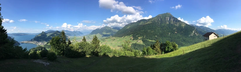
The hike starts at Alpnach Dorf station. The gentle ascent leads through an old alley to the hamlet of Schoried and a stretch along the large Schliere. From there, it goes a bit steeper uphill, mostly through the forest to the Guber quarry. In 2003, the «Amici» from Guber, together with civil protection, restored the hiking trail. The «Sentiero dei Cavatori» (stonemason path) was the access to the quarry until the road was built in 1949. About halfway, you pass the «Piazzetta dei Emigranti» (Emigrants' square). At the top of the Guber, you enjoy a magnificent view over Lake Alpnach and the Central Swiss mountains. The trail up to here is marked with white signposts. Then it goes downhill again towards Etzweid and the village of Kägiswil. Along Lake Wichel, the final section leads back to Alpnach Dorf.
- 4:04 h
- 13.62 km
- 463 m
- 462 m
- 444 m
- 868 m
- 424 m
- Start: Alpnach Dorf station
- Destination: Alpnach Dorf station
Good to know
Best to visit
Tour information
Loop Road
Directions & Parking facilities
Arrival by public transport: Current timetables at: www.zentralbahn.ch
Additional information
Arrival by public transport: Current timetables at: www.zentralbahn.ch
Author
Obwalden Tourismus
Organization
Obwalden Tourismus
Author´s Tip / Recommendation of the author
Insider tip: It is worth planning a picnic break at the grill area «Guberweid» at the top of the Guber.
Safety guidelines
Important notice: Entering the premises of Guber Natursteine AG is prohibited.

Nearby


Download GPX file