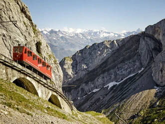
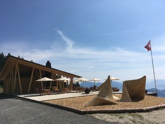
Fräkmüntegg - Ober Lauelen - Eigenthal

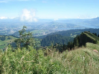
The starting point is Fräkmüntegg at 1,416 metres. The trail first passes the Fräkgaudi toboggan run and continues via Lauelenegg (1,442 m) to Alp Ober Lauelen (1,332 m). Here, the challenging Heitertannliweg trail (Route 6 / C) branches off. The route then continues downhill to the Unterlauelen Alpine farm (1,063 metres) and along the Rümlig torrent to the Eigenthal Talboden post bus stop. Along the way, several barbecue areas invite you to enjoy a leisurely barbecue. Eigenthal, at the foot of Mount Pilatus, is a popular recreational area in the Lucerne region.
- 1:30 h
- 5.41 km
- 21 m
- 472 m
- 970 m
- 1,442 m
- 472 m
- Start: Fräkmüntegg
- Destination: Eigenthal
Waypoints
Start
Good to know
Best to visit
suitable
Depends on weather
Tour information
Stop at an Inn
Equipment
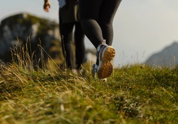
Sturdy footwear, a rain jacket and sufficient drinking water are essential for every hike.
Directions & Parking facilities
Getting there
Take the A2 motorway to the Lucerne-Kriens exit, then follow Route 2a to Apotheke Spani, turn left there and continue to the valley station of the Kriens panoramic gondola lift.
Parking
At the valley station of the Kriens panoramic gondola lift
Public transportation
Mit den SBB bis Station Kriens, Mattenhof und danach mit dem Bus bis zu den Pilatus-Bahnen
Author
Luzern Tourismus
Organization
Lucerne Tourisme
Nearby