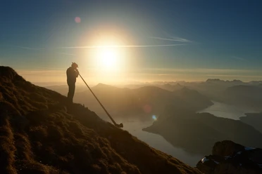
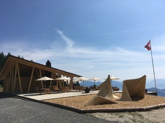
Fräkmüntegg - Lauelenegg - Höchberg - Eigenthalerhof

From Fräkmüntegg station (1,416 m), the trail initially climbs gently uphill, past the toboggan run Fräkigaudi to Fräkmüntegg itself – at 1,442 metres, the highest point of the hike – and on to Lauelenegg. Shortly after the turnoff to the north, the trail descends through the forest to a mysterious place, possibly a place of power. With renewed energy, you follow the path over the wooded ridge and reach Höchberg (1,198 m). You then descend around 100 metres to Chräigütsch (1,081 m). From here, it is about 20 minutes to the Eigenthalerhof post bus stop.
- 1:40 h
- 5.22 km
- 70 m
- 465 m
- 1,017 m
- 1,442 m
- 425 m
- Start: Fräkmüntegg
- Destination: Eigenthalerhof
Waypoints
Start
Good to know
Best to visit
suitable
Depends on weather
Tour information
Familiy-Friendly
Stop at an Inn
Equipment
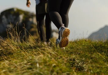
Sturdy footwear, a rain jacket and sufficient drinking water are essential for every hike.
Directions & Parking facilities
Getting there
Take the A2 motorway to the Lucerne-Kriens exit, then follow Route 2a to Apotheke Spani, turn left there and continue to the valley station of the Kriens Panorama Gondola Lift.
Parking
At the valley station of the Kriens panoramic gondola lift
Public transportation
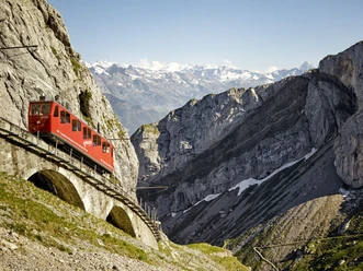
Take the SBB to Kriens, Mattenhof station and then the bus to the Pilatus railways.
Author
Luzern Tourismus
Organization
Luzern Tourismus
Nearby