From Kriens to Graustein and on to Krienseregg

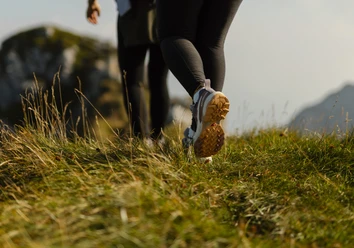
The hike starts at Kriens valley station and follows Gehristrasse through a residential area. After about 500 metres, near the last houses, a path branches right and climbs towards the forest. At the turning area, keep half left uphill without crossing the stream. Following the forest edge, you reach three switchbacks at around 708 metres, leading through mixed woodland towards Streubachstrasse and on to Graustein.
From Graustein two routes lead to Krienseregg:
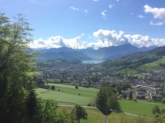
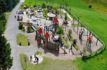
One option climbs steeply across meadows and open pasture. Along a small stream you reach a signpost and a fountain with spring water at 844 metres. The path then continues over the slope and through a short forest section up to Krienseregg (1,026 m). The second route runs via Langwase and Gruohubel through forest to the same destination. At the top, circular trails in the Dragon Moor range from 15 minutes to one hour.
- 1:30 h
- 3.23 km
- 509 m
- 2 m
- 513 m
- 1,022 m
- 509 m
- Start: Kriens
- Destination: Krienseregg
Waypoints
Good to know
Best to visit
Tour information
Familiy-Friendly
Stop at an Inn
Equipment
Directions & Parking facilities
Author
Luzern Tourismus
Organization
Luzern Tourismus
Author´s Tip / Recommendation of the author
Nearby