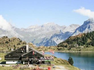
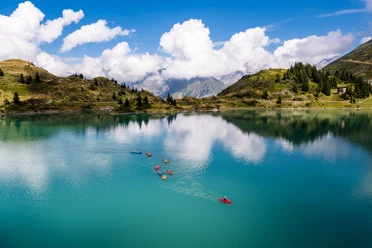
Geological hiking trail Stand - Trübsee

The route impresses with a fantastic view. On the geological hiking trail from Trübsee to Stand, you learn more about the Earth's history of the Alps. Information boards explain the geological development of the TITLIS area.
- 1:20 h
- 3.55 km
- 28 m
- 657 m
- 1,800 m
- 2,456 m
- 656 m
- Start: Stand Station
- Destination: Trübsee mountain station
Good to know
Pavements
Best to visit
Directions
Stand Station - Trübsee mountain station
Tour information
Nature Highlight
Directions & Parking facilities
Parking is subject to a fee.
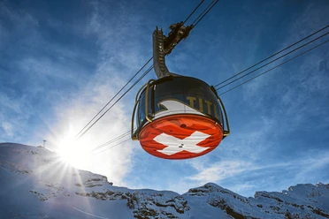
With the Zentralbahn you can travel directly from Lucerne to Engelberg. The travel time is about 45 minutes. From Engelberg station, you can reach the TITLIS valley station after a short 10-minute walk or conveniently by free bus.
Author
Nidwalden Tourismus
Organization
Nidwalden Tourismus
Author´s Tip / Recommendation of the author
For climbing enthusiasts, a stop at the Laubersgrat climbing park is recommended.
Nearby