Hike from Marbach (LU) via Ober Sidenmoos to Marbachegg


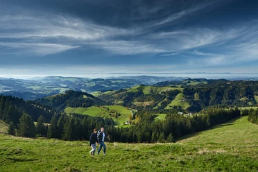
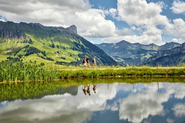
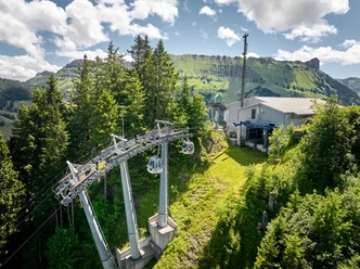
The hike begins at the Marbachegg Sports Cable Cars’ valley station in Marbach. The trail first leads up a gentle slope to the ski jump and continues through the varied landscape of the Entlebuch region toward Brunnemoos. Here, the idyllically situated Speicherseeli lake invites you to
take
a short break and enjoy the peace and quiet.The trail then climbs steadily over the Siedmoosflue. As you gain elevation, beautiful views of the village of Marbach and the surrounding “Höger” mountains open up again and again. After the final ascent, you’ll reach the sun terrace at Marbachegg—with a fantastic view of the striking Schrattenfluh, the Hohgant, and the peaks of the Bernese Alps. The mountain inn and the impressive panorama make your arrival a special experience and provide the perfect spot for a well-deserved break.
- 2:00 h
- 3.83 km
- 595 m
- 11 m
- 875 m
- 1,471 m
- 596 m
- Start: Marbachegg Sports Lifts Valley Station
- Destination: Marbachegg Mountain Station
Waypoints
Good to know
Pavements
Best to visit
Tour information
Summit
Tour with Dog
Directions & Parking facilities
Plan your route using Google Maps.
Plan your trip using the SBB online schedule.
Additional information
Marbach Tourist Office
Dorfstrasse 61
CH-6196 Marbach
Phone +41 (0)34 493 38 04
www.escholzmatt-marbach-tourismus.ch
Author
Escholzmatt-Marbach Tourismus
Organization
UNESCO Biosphäre Entlebuch

Nearby