Hitzkirch - Herlisberg - Römerswil - Hochdorf


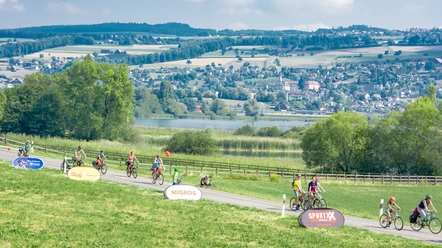
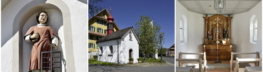
Starting at Hitzkirch station, hike via Richensee to Herlisberg. The Inn Herlisberg pampers guests with fine food and refreshing drinks. The view of Lake Baldegg, Heidegg Castle, and Lindenberg is wonderful. The hike continues through the forest to Römerswil. From there, you hike through Sagewald back to Hochdorf.
- 4:06 h
- 14.59 km
- 359 m
- 349 m
- 465 m
- 809 m
- 344 m
- Start: Hitzkirch Station
- Destination: Hochdorf Station
Good to know
Best to visit
Directions
Tour information
Stop at an Inn
Directions & Parking facilities
Additional information
Seetal Tourism
Niederlenzerstrasse 25
5600 Lenzburg
+41 (0)41 920 45 29
[email protected]
www.seetaltourismus.ch
Author
Seetal Tourismus
Organization
Seetal Tourismus
Author´s Tip / Recommendation of the author
- Inn Herlisberg
Map
National map 1:25,000 (Federal Office of Topography swisstopo) sheet Hochdorf or
Hiking map 1:50,000 (Federal Office of Topography swisstopo) sheet Rotkreuz
Nearby

