Hohmatt hike – "poacher path"


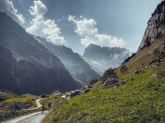
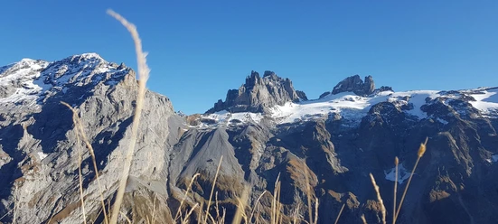
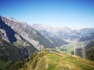
The path crosses several small and large creeks, which descend downwards with waterfalls in very close proximity. In addition, you'll enjoy a breathtaking view of the mountains across the valley, such as Grassengletscher or Galtiberg – just to name a few. About half way, you'll find the Hohmatthuette (lodge). This lodge radiates strength – which is apparent to everyone getting to the lodge. In the last third of the route, magnificent views of the Fuerenwand can be enjoyed. Quite a few people can discover a chamois in good eye.
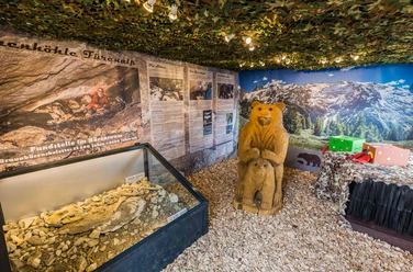
History
This hiking path was hiked on as well as much talked about from the SAC Engelberg (mountain touring club) 100 years ago. In 2010 the SAC organized a celebratory hiking.Even 100 years ago people used this path as a means of reaching the alp pastures and fields to make hay. Due to some areas being obscured when looking up from the valley, poachers took advantage of it. This area not only provided shelter to the game but also to its hunter...
- 1:37 h
- 2.89 km
- 767 m
- 1,073 m
- 1,840 m
- 767 m
- Start: Wasserfall
- Destination: Fürenalp
Waypoints
Good to know
Best to visit
Directions
Directions & Parking facilities
Additional information
Author
Engelberg - Titlis Tourismus
Organization
Engelberg-Titlis Tourismus
Author´s Tip / Recommendation of the author
Safety guidelines

Nearby