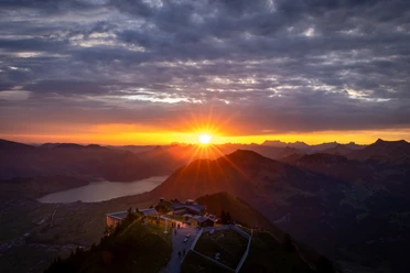
Kerns - Ächerli - Stanserhorn

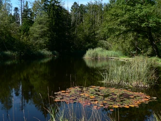
Get to know the Stanserhorn from a different perspective. Hike along the southern slope via the Ächerli Pass down to Kerns and Ennetmoos. You can enjoy a magnificent view towards the lovely Obwalden region and the Bernese Alps. In Kerns you join the Way of St. James or the Brother Klaus Trail to Ennetmoos. From there, the post bus takes you back to Stans.
- 4:35 h
- 10.74 km
- 1,384 m
- 51 m
- 563 m
- 1,851 m
- 1,288 m
Good to know
Pavements
Unknown (3%)
Street (35%)
Asphalt (9%)
Trail (22%)
Path (31%)
Best to visit
suitable
Depends on weather
Equipment
Good shoes, a rain jacket and enough drinking water for the journey are part of every hike.
Author
Marco Burgener
Organization
Lucerne Tourisme

Nearby