Krienseregg - Holderchäppeli

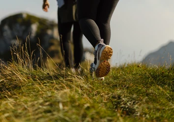
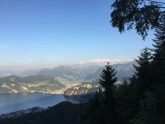
The hike begins at the Krienseregg middle station at 1,026 metres. The route first leads over the Rotbach stream and past the Ricketsschwändi, before a short climb to the Gibelegg mountain lodge. The trail then descends to Dorschnei. After crossing the Renggbach stream, turn off the Stössstrasse towards Rosshütte (954 m). In Stösswald, you reach the highest point of the tour at 1,040 metres. The route then continues along a road at the edge of the forest, past Alp Schilt and Neualp, to the Holderchäppeli post stop at 935 metres.
- 1:40 h
- 5.81 km
- 144 m
- 230 m
- 935 m
- 1,041 m
- 106 m
- Start: Krienseregg
- Destination: Krienseregg
Waypoints
Start
Destination
Good to know
Best to visit
suitable
Depends on weather
Tour information
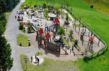
Familiy-Friendly
Stop at an Inn
Equipment
Sturdy footwear, a rain jacket and sufficient drinking water are essential for every hike.
Directions & Parking facilities
Getting there
Take the A2 motorway to the Lucerne-Kriens exit, then follow Route 2a to Apotheke Spani, turn left there and continue to the valley station of the Kriens Panorama Gondola Lift.
Parking
At the valley station of the Kriens panoramic gondola lift
Public transportation
Take the SBB to Kriens, Mattenhof station and then the bus to the Pilatus railways.
Author
Luzern Tourismus
Organization
Luzern Tourismus
Author´s Tip / Recommendation of the author
Extend the hike to Hergiswald, visit the pilgrimage church and stop at the Hergiswald mountain restaurant.
Nearby