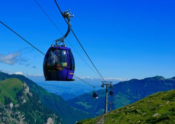
Melchtal-Stöckalp


The route leads down to the Melchaa near the Melchtal church. Upwards along the stream landscape towards Tumlibach-Mur (fireplace) and from there on the right side to the main road. Immediately afterwards the route crosses the stream. With slight ups and downs, it follows the hiking trail via Balmmatt-Untersteiglen, past a feeding trough for deer and roe deer to the car park and the Stöckalp station.
The return can either be done on snowshoes along the same path or by post bus.
- 1:21 h
- 4.57 km
- 227 m
- 37 m
- 845 m
- 1,071 m
- 226 m
- Start: Melchtal church
- Destination: Car park at the Stöckalp valley station
Good to know
Best to visit
Tour information
Familiy-Friendly
Directions & Parking facilities
From the A2 from Lucerne through the tunnel onto the A8 towards Interlaken, change to Sarnen and then take the Sarnen Nord exit. Single lane left towards Kerns, Melchsee-Frutt.
From Interlaken via Brünig on the A8 to the Sarnen Nord exit. Right towards Kerns, Melchsee-Frutt.
Author
Obwalden Tourismus
Organization
Obwalden Tourismus
Nearby