Mountain bike route Furka Höhenweg (Urschner Höhenweg)


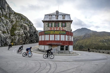
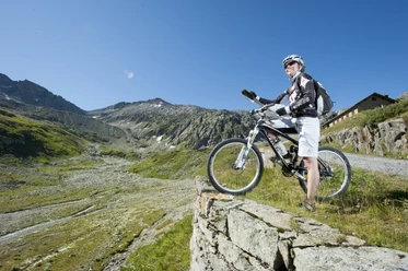
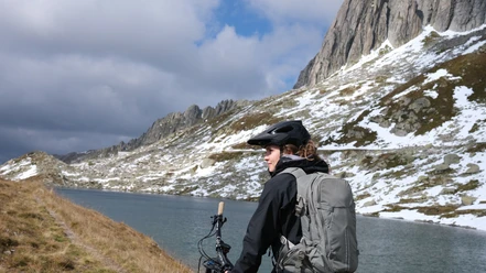
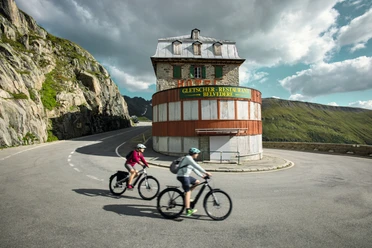
The route leads from Andermatt train station through the valley floor towards Realp, where the path climbs up to Tiefenbach. Now single-trails come into play. The developed trail continues from Tätsch into the Lochberg valley basin and further with ups and downs to the Lutersee. As a reward, there is a breathtaking panoramic view. Afterwards, the route leads downhill along the Golfrundweg to the Reuss dam towards Giessen and back to Andermatt train station.
- 5:00 h
- 34.28 km
- 1,097 m
- 1,097 m
- 1,430 m
- 2,309 m
- 879 m
- Start: Andermatt train station
- Destination: Andermatt train station
Good to know
Pavements
Street (25%)
Asphalt (9%)
Gravel (10%)
Trail (30%)
Path (26%)
Best to visit
suitable
Depends on weather
Directions
Andermatt – Giessen – Golfrundweg – Rossmettlen – Blauseeli – Lochberg – Realp – Hospental – Andermatt
Tour information
Loop Road
Stop at an Inn
Author
Andermatt-Urserntal Tourismus GmbH
Organization
Région de vacances Andermatt
Author´s Tip / Recommendation of the author
- Complete the route with an e-mountain bike
- Route in reverse direction: Furka pass road to Tiefenbach-Lochberg-Rossmettlen-Golfrundweg-Andermatt
Nearby

Download GPX file