Path to the Stoos Hüttä


- 0:25 h
- 1.43 km
- 70 m
- 74 m
- 1,303 m
- 1,373 m
- 70 m
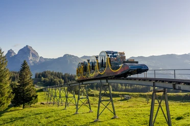
- Start: Mountain station of the Schwyz-Stoos funicular
- Destination: Mountain station of the Schwyz-Stoos funicular
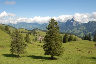
The Stoos Hüttä route starts at the mountain station of the funicular and leads along a gravel road to the mountain restaurant Stoos Hüttä. The cozy restaurant at 1400 m above sea level invites you to indulge in delicacies and warm hospitality. From here, you can enjoy a view of the mountain village Stoos and numerous majestic Alpine peaks. The path takes you back along the same route to the mountain station of the funicular.
Waypoints
Start
Destination
Good to know
Pavements
- Asphalt (27%)Gravel (6%)Trail (63%)Path (4%)
Best to visit
- suitableDepends on weather
Directions
Mountain station Schwyz-Stoos funicular - Stoos Hüttä - Mountain station Schwyz-Stoos funicular
Tour information
Circular trail
Refreshment stop
Author
Stoos-Muotatal Tourismus / Schwyzer Wanderwege
Organization
Stoos-Muotatal Tourismus
Nearby







Download GPX file