Rigi Chestnut Trail: Stage Weggis - Vitznau


This scenic themed hiking trail provides information about the presence of the sweet chestnut at the foot of the Rigi. Chestnuts once played an important role in nutrition. Even today, you can identify remnants of chestnut groves and sweet chestnut trees.
- 2:15 h
- 6.67 km
- 404 m
- 399 m
- 435 m
- 779 m
- 344 m
Good to know
Pavements
Street (58%)
Asphalt (7%)
Trail (14%)
Path (21%)
Best to visit
suitable
Depends on weather
Directions
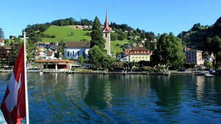
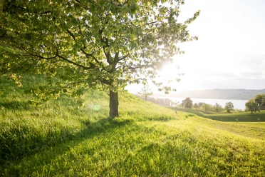
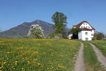
The path between Weggis and Vitznau begins with an ascent that partially passes through the “Chilewald” forest. At the Bannholz curve, turn right onto a more challenging section. After about 300 meters, you reach the Chestenenweid nature reserve, whose flora and fauna are as diverse as only found on the southern side of the Alps. Before the route continues to the Oren path, you can end the hike at the Lützelau bus stop or continue on the Chestnut Trail uphill to the highest point; Wilen at 774 m above sea level. Good shoes are required for this stage of the hike, as you will climb 130 meters in elevation over stairs and ladders in a relatively short distance. A fantastic view of the middle part of Lake Lucerne and the village of Vitznau compensates for the effort. Over a steep but short section, you reach the Oberwil farm and via a narrow panoramic road, the center of Vitznau.
Tour information
Nature Highlight
Directions & Parking facilities
Getting there
From the Küssnacht motorway exit, follow the main road to Weggis
Parking
Various parking options in the village center of Weggis
Public transportation
- By boat from Lucerne to Weggis
- By train and bus from Lucerne via Küssnacht to Weggis
- Bus and boat from Vitznau
Author
Tourist Information Weggis (Luzern Tourismus AG)
Organization
Weggis Vitznau Rigi

Nearby

