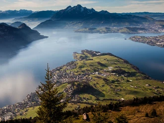
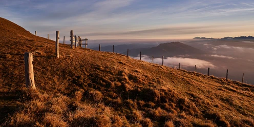
Rigi Kulm via Rigi Kaltbad to Rigi Scheidegg


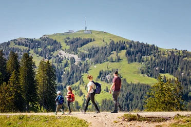
The route starts at the highest peak of the Rigi and promises a gigantic panoramic view from Säntis to the Bernese Alps. This hike is an extension of the well-known “Panoramaweg”, which begins further down at Rigi Kaltbad and leads to Rigi Scheidegg. It follows the track of the old railway line of the Rigi Kaltbad-Scheidegg Bahn and uses its existing infrastructure such as bridges and tunnels.
Notes
The current operational status of the railways and hiking trails can be found here.
So that future generations can also enjoy the Queen of the Mountains, we ask you to dispose of your waste at the Rigi Bahn stations. Thank you.
- 2:50 h
- 10.20 km
- 217 m
- 325 m
- 1,431 m
- 1,749 m
- 318 m
- Start: Rigi Kulm
- Destination: Rigi Scheidegg
Waypoints
Good to know
Pavements
Best to visit
Directions
Rigi Kulm (1797 m) - Rigi Kaltbad (1436 m) - First (1453 m) - Unterstetten (1451 m) - Hinter Dossen (1546 m) - Rigi Scheidegg (1656 m)
Tour information
Barrier-Free
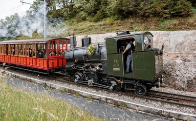
Mountain Railway Tour
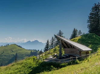
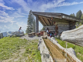
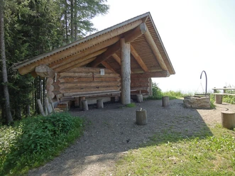
Nature Highlight
Stop at an Inn
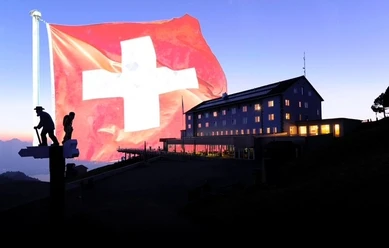
Summit
Tour with Dog
Equipment
Hiking shoes with good tread or trekking shoes, rain jacket, drink, snacks, possibly poles.
Directions & Parking facilities
Take the A4 Goldau or Küssnacht-Vitznau exit.
Paid parking is available at the Rigi Bahn stations in Vitznau and Goldau A4.
More information on arrival and parking
However, we recommend public transport instead of car: relax, enjoy, and do something good for the environment at the same time.
You can reach the Rigi Kulm station by cogwheel train from Vitznau or Goldau. Here is the timetable.
Author
Schwyzer Wanderwege
Organization
Schwyzer Wanderwege
Nearby
