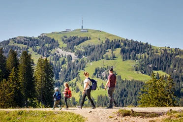
Rigi - Seebodenalp "Grüezi Weg"


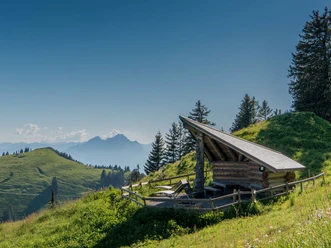
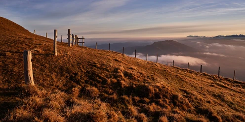
This pleasurable descent from the Rigi summit is one of the most popular hiking routes on the Queen of the Mountains. The route offers fascinating distant views of the Alpine chain and the Central Plateau and can still be managed without great effort.
From Rigi Staffel, the path becomes steeper and provides a good workout for the knee and calf muscles. Incidentally, this section was also mastered by Queen Victoria of England on horseback in 1868.
Notes
You can find the current operating status of the railways and hiking trails here.
To ensure that future generations can also enjoy the Queen of the Mountains, we kindly ask you to dispose of your waste at the Rigi railway stations. Thank you.
- 1:30 h
- 4.43 km
- 7 m
- 744 m
- 1,019 m
- 1,763 m
- 744 m
- Start: Rigi Kulm
- Destination: Seebodenalp
Waypoints
Good to know
Pavements
- Street (36%)Trail (47%)Path (16%)
Best to visit
- suitableDepends on weather
Directions
- Rigi Kulm (1748 m) – Rigi Staffel (1604 m) – Holderen (1116 m) – Seebodenalp (1020 m)
Tour information
Refreshment stop
Equipment
Sturdy footwear and weather-appropriate clothing recommended.
Directions & Parking facilities
- Getting thereTake motorway A4 to the Goldau exit or the Küssnacht exit towards Weggis - Vitznau.Parking
Paid parking is available at the Rigi railway stations.
We recommend public transport instead of car: Sit back, enjoy, and do something good for the environment.
Public transportationThe Rigi Kulm station is accessible by cogwheel train from Arth-Goldau or Vitznau.
Timetables for the Rigi railways can be found here.
Author
Gäste-Service Rigi
Organization
Schwyzer Wanderwege
Author´s Tip / Recommendation of the author
Treat yourself to a breather on the lovely Seebodenalp before taking the aerial cableway down to Küssnacht.