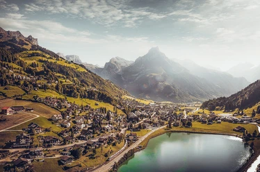
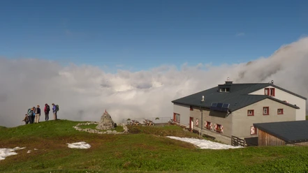
Scheidegg

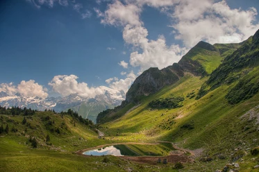
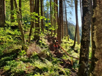
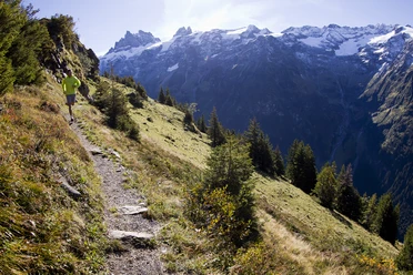
With a bit of luck the eagle will show up to make its circles. A steep ascent and descent over alpine meadows is rewarded with a magnificent view over the high valley of Engelberg. The route leads along the NW-Höhenweg to Zingelalp and then up to Lutersee and Scheidegg. On the other side it goes steeply down to the Arni. The trail leads via Untertrübsee back to Engelberg.
- 3:31 h
- 15.50 km
- 1,144 m
- 1,144 m
- 943 m
- 2,077 m
- 1,134 m
- Start: Oertigen
- Destination: Engelberg
Waypoints
Start
Good to know
Best to visit
suitable
Depends on weather
Directions
Oertigen, Zingelalp, Luiteresee, Scheidegg, Arni und Engelberg
Tour information
Loop Road
Author
Engelberg - Titlis Tourismus
Organization
Engelberg-Titlis Tourismus
Author´s Tip / Recommendation of the author
Alpkäserei Untertrübsee und Luitersee
Nearby


Download GPX file