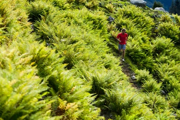
Walenstock Loop

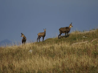
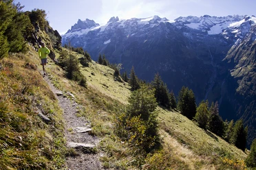
On the official mountain running route, it goes up to the Rugghubel hut, further to Rotgrätli. On rocky ground, across alpine meadows, you cross the Bannalper-Schonegg and have a beautiful view of Bannalp Lake. Past the southern shore, up to Walegg from where you can enjoy a breathtaking view over the lower Engelberg valley. Via Walenalp, you return to the Engelberg basin.
- 5:00 h
- 23.09 km
- 1,493 m
- 1,495 m
- 1,596 m
- 2,558 m
- 962 m
- Start: Ristis
- Destination: Walegg
Waypoints
Start
Good to know
Best to visit
suitable
Depends on weather
Directions
Rugghubel, Rotgrätli, Bannalper-Schonegg, Urnerstafel, Walegg, Risits
Tour information
Loop Road
Additional information
Restaurant Tuifelstei: https://www.hotelcrystal.ch/restaurant/
Author
Engelberg - Titlis Tourismus
Organization
Engelberg-Titlis Tourismus
Author´s Tip / Recommendation of the author
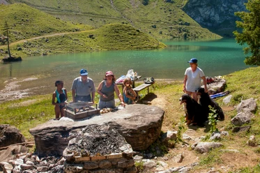
The restaurant Tuifelsstei, Bannalp Lake and Walegg
Nearby


Download GPX file