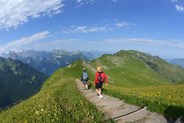
Schwyz route - Brunnen – Brunnen


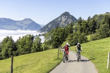
The starting point is Brunnen. Later, there is a crossing of the Muota over the Suworow Bridge. Then there is an ascent towards Aufiberg. After the Gibelhorn, you have a breathtaking view of the Schwyz valley basin. You ride nicely through the forest down towards Rickenbach Schwyz and then go right to Tschütschi. The route continues towards Ried and past Schwyz. At Seewen SZ, you follow the path nicely until you come back to the village of Brunnen. Once in Brunnen, you can treat yourself to a fine ice cream, a coffee, a swim in the lake, or a round of minigolf.
- 3:15 h
- 25.48 km
- 777 m
- 778 m
- 438 m
- 897 m
- 459 m
- Start: Brunnen
- Destination: Brunnen
Good to know
Pavements
Best to visit
Directions
Brunnen 437 m a.s.l. - Oberschönenbuch 539 m a.s.l. - Ufiberg 658 m a.s.l. - Gibel 816 m a.s.l. - Gibelwald 881 m a.s.l. - Rickenbach b. Schwyz 587 m a.s.l. - Tschütschi 711 m a.s.l. - Brändli 820 m a.s.l. - Ried 668 m a.s.l. - Seewen SZ 455 m a.s.l. - Brunnen 437 m a.s.l.
Tour information
Loop Road
Equipment
Good footwear, helmet, backpack, appropriate weather clothing.
Directions & Parking facilities
Paid parking is available at Brunnen train station.
Author
Erlebnisregion Mythen
Organization
Bikegenoss Zentralschweiz

Nearby


Download GPX file