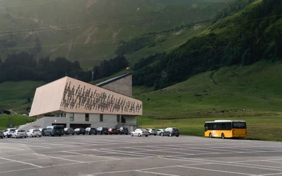
Sörenberg - Schönbüel - Brienzer Rothorn


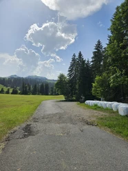
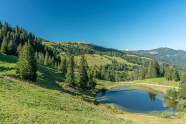
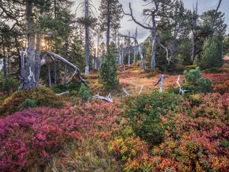
The hike starts in Sörenberg and initially leads along well-marked paths through gentle meadows and bright forests. The ascent to the Berghaus Schönbüel is leisurely at first, yet about 800 meters of elevation are gained by the time you reach Berghaus Schönbüel. However, you are rewarded at all times with fantastic panoramas of the surrounding Alps. Upon arrival at Schönbüel, the Berghaus invites you to a cozy break where you can enjoy the magnificent view of the mountains and valleys.
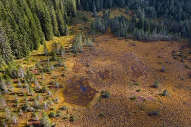
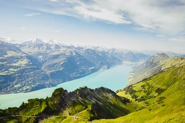
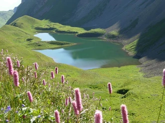
From Schönbüel, the paths lead through flower-rich meadows up to the summit of the Brienzer Rothorn. The path is easy to walk but requires good basic fitness. Already on the way to the summit, you will be rewarded with a breathtaking panoramic view of the Bernese Alps, Brienzersee, and on clear days, even as far as the Eiger, Mönch, and Jungfrau.
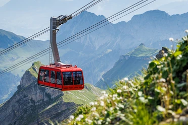
After a well-deserved rest on the Rothorn, you can comfortably glide back to Sörenberg with the aerial cableway, where your hike started. This route combines natural beauty, sporting activity, and a relaxed conclusion – perfect for an unforgettable mountain tour in the region.
- 5:55 h
- 13.69 km
- 1,350 m
- 301 m
- 1,229 m
- 2,328 m
- 1,099 m
- Start: Sörenberg
- Destination: Sörenberg
Waypoints
Good to know
Best to visit
Author
Obwalden Tourismus
Organization
Obwalden Tourismus
Author´s Tip / Recommendation of the author
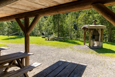
Reinforcement or overnight stay at the Bärghuis Schönbüel.

Nearby