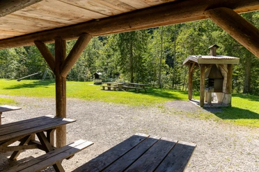
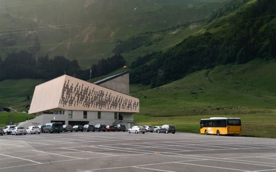
Valley station Brienzer Rothorn aerial cableway - Schönbüel - Brienzer Rothorn


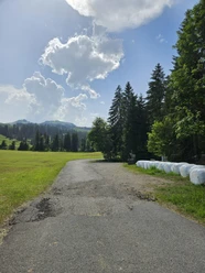
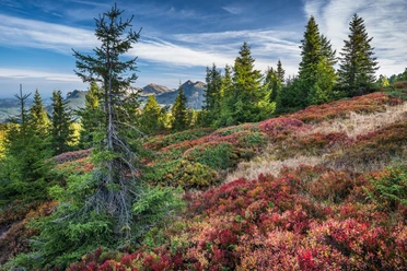
This scenic mountain hike starts at the valley station of the Brienzer Rothorn aerial cableway in Sörenberg. From there, the path initially leads towards Schönbüel, an idyllic high plateau with gentle alpine pastures, magnificent panoramas, and a typical pre-alpine landscape. Already here, impressive views open up to the surrounding peaks of the Bernese Alps.
The ascent continues over well-developed mountain paths and becomes increasingly steeper over the open slopes of the Rothorn. With every step, the panorama widens – along the way, there are many opportunities to pause and marvel. Particularly impressive is the view back into the valley and over the Entlebuch region.
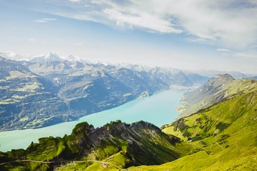
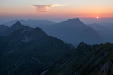
After the final ascent, you reach the summit of the Brienzer Rothorn (2,350 m a.s.l.). The view is spectacular: from here the gaze extends over the panoramic Bernese Oberland, Lake Brienz, and, in good visibility, to the Valais and Central Swiss Alps.
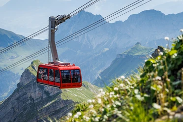
The return can be done either on foot via the same route or comfortably by cable car to the valley.
- 6:05 h
- 13.79 km
- 1,351 m
- 293 m
- 1,229 m
- 2,328 m
- 1,099 m
- Start: Valley station Brienzer Rothorn aerial cableway
- Destination: Mountain station Brienzer Rothorn aerial cableway
Waypoints
Good to know
Pavements
Best to visit
Tour information
Summit
Directions & Parking facilities
You reach Sörenberg via main road 10 towards Schüpfheim and from there via Flühli Sörenberg to the village centre of Sörenberg.
In summer, you can reach Sörenberg via Sarnen - Giswil over the Glaubenbielen pass.
A paid parking lot is available at the Rothorn valley station.
You can reach Sörenberg by public transport via Schüpfheim (Bern-Lucerne railway line). From Schüpfheim, take the post bus to Sörenberg, Post. Plan your journey with the SBB online timetable.
Author
Sörenberg Flühli Tourismus
Organization
UNESCO Biosphäre Entlebuch
Author´s Tip / Recommendation of the author
You can shorten the hike and take the post bus to the Glaubenbielen pass height.

Nearby
