Stäubenweg Gurtnellen


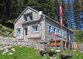
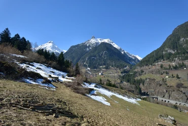
On the short route, 230 meters of elevation are overcome via numerous stairs. Bridges are crossed along the way, the impressive Dreistäuber Falls admired, and strength replenished. The view into the Gorner Gorge is breathtaking. At the top, the Stäuben Chapel perches like an eagle's nest above the rocks. Several benches and rest areas invite you to linger.
- 1:30 h
- 2.56 km
- 192 m
- 192 m
- 734 m
- 918 m
- 184 m
- Start: Gurtnellen-Wiler
- Destination: Gurtnellen-Wiler
Good to know
Pavements
Best to visit
Directions
Tour information
Loop Road
Tour with Dog
Equipment
- Clothing appropriate for the weather
- Good footwear
- Drink and snacks
- Hiking pole if needed
Directions & Parking facilities
Gurtnellen is connected via the Uri cantonal road to the A2 motorway and is therefore very well accessible. The nearest motorway exits are Wassen and Amsteg.
A few meters south on the opposite side of the road from where the path begins, there is a parking possibility.
You can reach the starting point Gurtnellen directly by bus from Göschenen or Altdorf. The timetable is as follows: Auto AG Uri Timetable
Additional information
For further questions, feel free to contact: Andermatt Holiday Region +41 41 888 71 00, [email protected]
Author
Andermatt-Urserntal Tourismus GmbH
Organization
Région de vacances Andermatt
Author´s Tip / Recommendation of the author
- Various dining options in the village of Gurtnellen: Restaurants Gurtnellen
Safety guidelines

Nearby
Download GPX file