Stoos Nordic Walking green


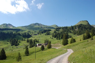
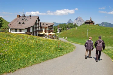
From the old mountain station of the funicular, turn left towards the former alpine swimming pool. Continue downhill to the asphalt road, where you turn right towards Brunnerboden. From there, take the natural road to the right towards the Klingenstock restaurant and then via Sternegg back to the village of Stoos.
- 1:10 h
- 4.95 km
- 166 m
- 175 m
- 1,185 m
- 1,351 m
- 166 m
- Start: Stooshorn, old funicular mountain station
- Destination: Stooshorn, old funicular mountain station
Waypoints
Good to know
Best to visit
- suitableDepends on weather
Directions
- Stooshorn - Alpine Bath - Rietel - Brunnerboden - Sternegg - Stooshorn
Tour information
Circular trail
Refreshment stop
Equipment
- Rain jacket, drink, provisions, walking poles.
Directions & Parking facilities
- Getting there
By car on the A4 to the Schwyz exit, then towards Muotathal to the valley station of the large funicular Schwyz-Stoos or turn onto Morschacherstrasse (at Wolfsprung), then follow the signs to Morschach and continue to the valley station of the small aerial cableway Morschach-Stoos.
ParkingParking is available at the valley stations of the funicular Schwyz-Stoos and the aerial cableway Morschach-Stoos.
Public transportationBy train to Schwyz-Seewen station, then by bus to the valley station of the large funicular Schwyz-Stoos (line 501 Schwyz - Muotathal) or by train to SBB Brunnen station, then by bus to the valley station of the small aerial cableway Morschach-Stoos.
Additional information
Author
Stoos-Muotatal Tourismus / Schwyzer Wanderwege
Organization
Stoos-Muotatal Tourismus
Author´s Tip / Recommendation of the author
- Note(s) Surface: 60% asphalt, 40% forest/meadow paths
Safety guidelines
- Rain jacket, drink, food, walking sticks.
Nearby




Download GPX file