Stoos ridgeline route


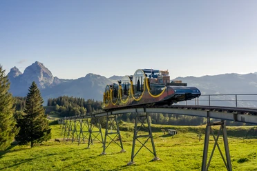
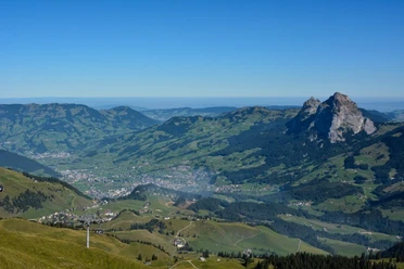
The steepest funicular in the world reaches the car-free mountain village of Stoos. A chairlift runs to the starting point of the hike – Klingenstock. Of course, the ascent is also possible on foot. Those heading west towards Rot Turm and Nollen should be sure-footed and free from fear of heights. Far below, Lake Lucerne accompanies the hike along the ridge to Huser Stock. Then you zigzag down the rock-cut and chain-secured mountain trail to Furggeli. The last ascent is the steepest, from the alpine hut at Furggeli up to the summit of Fronalpstock. If your heart beat a little faster during the uphill hike, the view of the mountain and lake landscape at the summit will take your breath away. On the terrace of the highest restaurant in the canton, you can rest and continue enjoying the view. The chairlift takes you back to the mountain village of Stoos. Those who want can also hike down.
The hike is rated T3 on the SAC scale for difficulty. Good hiking gear, surefootedness, shoes with a grippy sole, and good fitness are highly recommended. The hiking trail is usually secured with chains from around the beginning of June to about the beginning of November.
- 3:00 h
- 10.21 km
- 928 m
- 924 m
- 1,289 m
- 1,927 m
- 638 m
- Start: Summit station chairlift Klingenstock
- Destination: Summit station chairlift Fronalpstock
Waypoints

Good to know
Pavements
Best to visit
Directions
Klingenstock 1935 m - Rot Turm 1852 m - Huser Stock 1904 m - Furggeli 1782 m - Fronalpstock 1922 m
Hiking route 827
Tour information
Loop Road
Mountain Railway Tour
Nature Highlight
Stop at an Inn
Summit
Equipment
Good hiking shoes with a good profile or trekking shoes, rain jacket, drink, food, possibly poles.
Directions & Parking facilities
By car on the A4 to the Schwyz exit, then towards Muotathal to the valley station of the large funicular Schwyz-Stoos or turn onto Morschacherstrasse (at Wolfsprung), then follow the signs to Morschach and continue to the valley station of the small aerial cableway Morschach-Stoos.
Parking facilities are available at the valley station of the Schwyz-Stoos funicular and the Morschach-Stoos aerial cableway.
By train to Schwyz-Seewen station, then by bus to the valley station of the large funicular Schwyz-Stoos (line 1 Schwyz - Muotathal) or by train to SBB Brunnen station, then by bus to the valley station of the small aerial cableway Morschach-Stoos.
Additional information
A club is responsible for the maintenance and associated safety on the trail. Active seniors work on a voluntary basis with the goal of making the trail accessible to families and seniors. The club is mainly financed by donations. More information can be found in the brochure here.
Stoosbahnen AG: 041 818 08 08
Chairlifts Klingenstock in good weather & Fronalpstock operate daily in the main season and on nice weekends in the off-season.
Literature
Free brochures with information about the ridgeline route are available at the Stoosbahn stations.
Author
Stoos-Muotatal Tourismus / Schwyzer Wanderwege
Organization
Schwyzer Wanderwege
Author´s Tip / Recommendation of the author
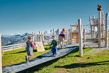
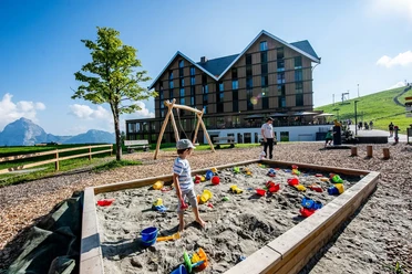
Frönelis Geissli playground & petting zoo on the Fronalpstock.
The ridgeline route is also suitable for families. Here is the blog of a family about the route.
Safety guidelines
The hike is rated T3 on the SAC scale for difficulty. Good hiking equipment, surefootedness, shoes with a grippy sole, and good fitness are highly recommended. The hiking trail is usually secured with chains until about the beginning of November.
Map
Hiking maps of Schwyz are available at the Regio Shop at the valley station of the funicular railway:
Nearby


Download GPX file